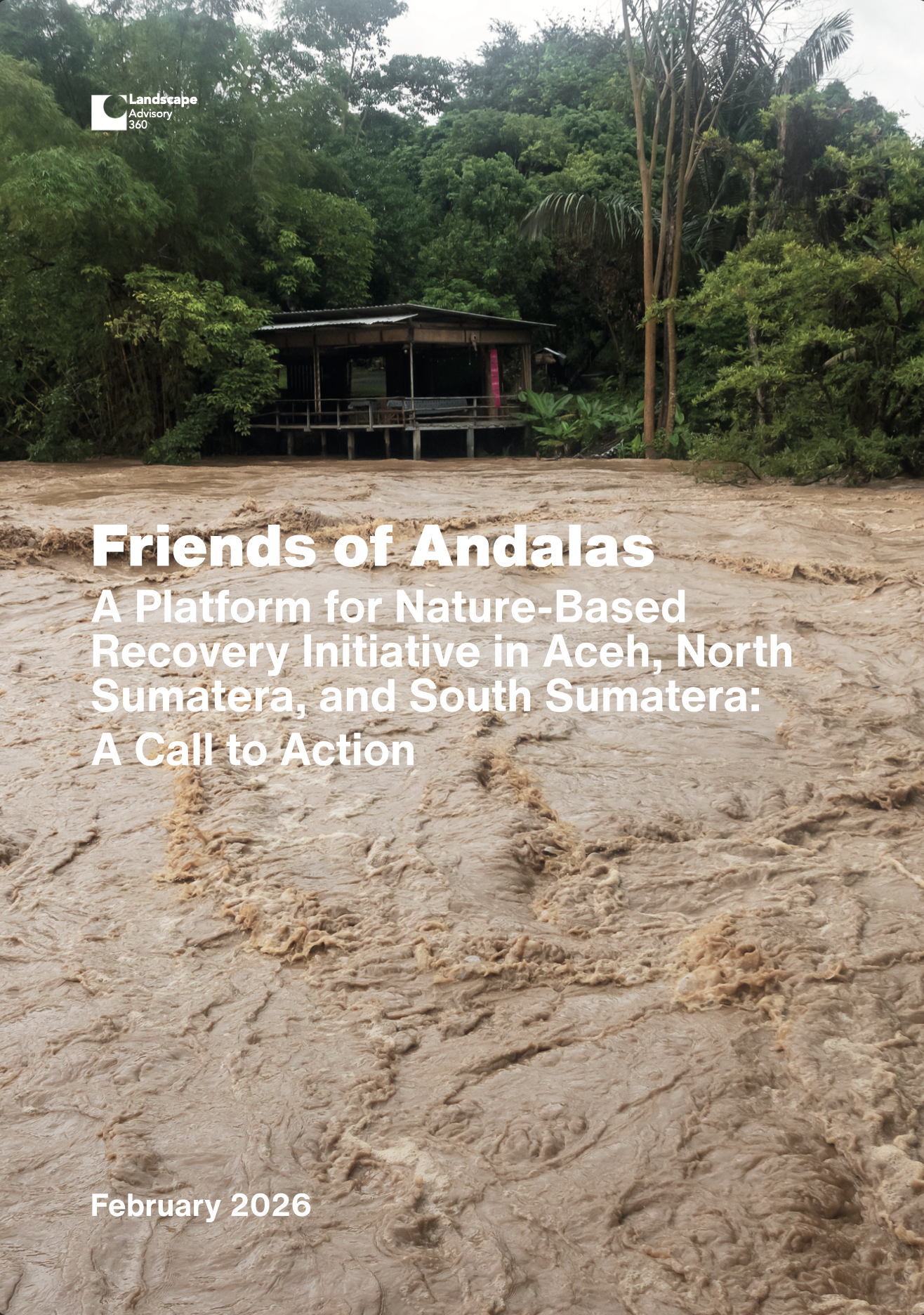
In late November 2025, an unusually intense spell of rainfall — amplified by a rare near- equatorial tropical cyclone event — hit northern Sumatera and triggered widespread river flooding and landslides across Aceh, North Sumatera, and West Sumatera. What began as extreme weather rapidly became a cascading landscape disaster: steep headwaters shed water, debris, and sediment into mid-slope corridors, then overwhelmed lowland rivers and floodplains where settlements, roads, and productive lands are concentrated.
The impacts were catastrophic. By late December 2025, national disaster reporting indicated more than a thousand fatalities, hundreds missing, and hundreds of thousands displaced across the three provinces, with housing damage on a massive scale and extensive losses to public infrastructure, farms and plantations, and community assets. The reconstruction needs were estimated in the tens of trillions of rupiah, reflecting not only physical rebuilding, but the sheer logistics of restoring access, services, and livelihoods across dispersed, waterlogged, and landslide-affected terrain.
The disaster also exposed a structural driver that cannot be addressed by “rebuilding” alone: decades of land-use change and weak watershed governance have degraded the ecological infrastructure that moderates runoff, stabilizes slopes, and buffers floods. In other words, climate-amplified rainfall hit landscapes already engineered for failure. The central lesson is political as much as technical — who gains from risky land conversion, and who pays when hazards arrive — and it points toward a recovery approach that is explicitly watershed-to-coast: protect remaining water towers, rehabilitate river and mid-slope corridors, restore critical hydrological control surfaces such as peat and mangroves, and re-plan settlement and infrastructure exposure around enforceable risk rules.