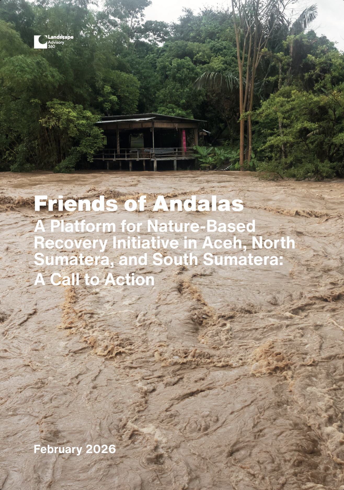
The late-November 2025 floods and landslides across Aceh, North Sumatera, and West Sumatera were a systems failure revealed by weather. Extreme rainfall was the trigger, but the scale of loss reflected accumulated risk — weakened watersheds and unstable slopes upstream, and dense settlement and critical assets concentrated in floodplains and corridors downstream.
In a warming climate, heavy precipitation is expected to intensify; designing for yesterday’s rainfall baseline is no longer conservative.
This report advances a Recover with Nature portfolio:
- Conserve remaining ecological infrastructure (headwater forests, peat, mangroves).
- Rehabilitate mid-slope disturbance belts and riparian corridors to reduce runoff and sediment.
- Restore critical hydrological control surfaces in floodplains, peat hydrological units, and coastal buffers — paired with engineering calibrated by basin type, not applied as a uniform template.
Governance is the hinge.
The operating unit of risk is watershed-to-coast, yet planning, licensing, budgeting, and enforcement still tend to fragment along administrative lines.
The reforms proposed here focus on:
- Province-led watershed coordination
- Time-bound, risk-based permit audits in headwaters, steep slopes, riparian corridors, peat hydrological units, and floodplains
- Enforceable river setbacks and floodplain zoning
- Early warning systems that link thresholds to protocols people can execute
Financing must follow risk reduction, not just reconstruction.
Indonesia’s own climate commitments — the Long-Term Strategy for Low Carbon and Climate Resilience (LTS-LCCR 2050), the Second Nationally Determined Contribution (NDC), and the Forestry and Other Land Use (FOLU) Net Sink 2030 agenda — provide a credible platform to align adaptation and mitigation, and to make the case for international support for adaptation and loss-and-damage needs.
The choice is not whether the next storm arrives; it is whether it meets a landscape that has learned.